 |
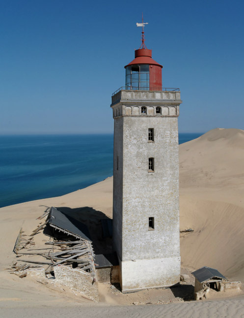
Lighthouse Rubjerg Knude in Denmark in May 2006. The drifting sand dune, which separated onetimes the lighthouse from the sea, so that the lighthouse had to close, is going into the landscape. The rigde of the dune is already behind the lighthouse. The first pieces of the houses will soon fall into the sea, because the coast comes closer and closer to the lighthouse. We are lucky that we could take a 360-degree-panorama-picture from the galery of the lighthouse.
(worked from December 27th 1900 to August 1st 1968 - from 1948 electrified, height of building 23 m, height of fire 90 m, range of light 23 sm, characteristic [Fl (1+2) W 30s] one flash and two flashes every thirty seconds)
coordinates (GPS) : 57°26'57.2''N - 09°46'28.7''E
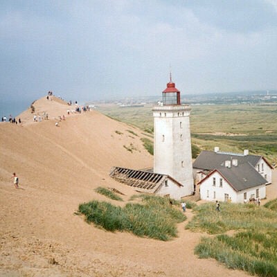 |
This picture was taken in July 1999, the drifting dune had buried the first house which belongs to the lighthouse.
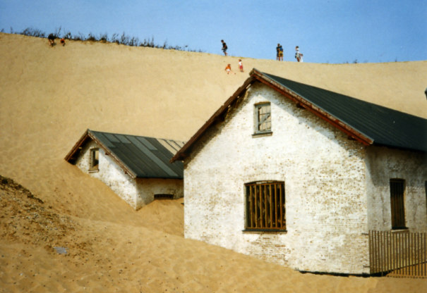 |
Three years earlier, in 1996 the second house was still visible.
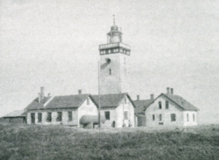 |
This is a historical picture from the time as the lighthouse was still working.