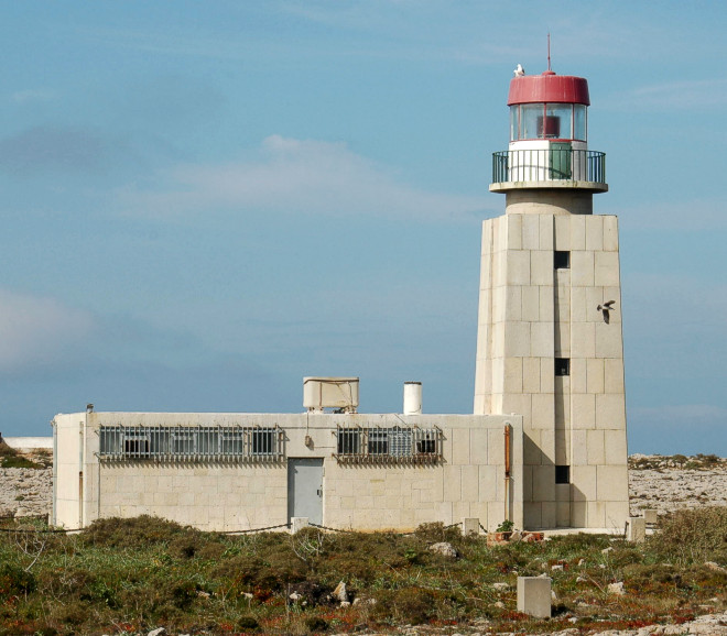
Beacon Ponta de Sagres in February, 2008. The tower stands on the southeast one of both capes in the most southwest
point of Europe. Because the headland completely acted as a fort, one has to accept the entry liable for costs recently
into the fort to visit the lighthouse.
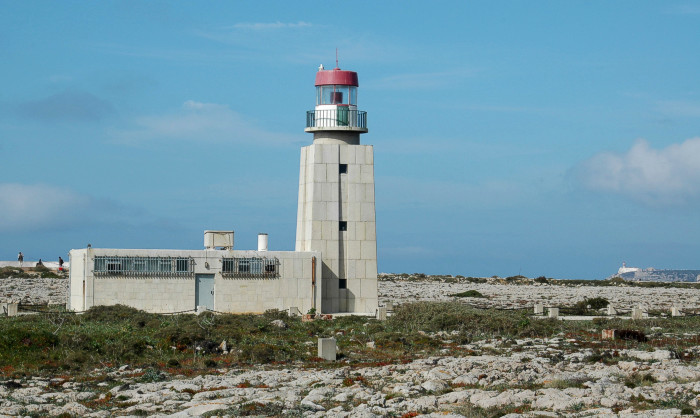
In the second picture the lighthouse Cabo de Sao Vicente
on the other cape is to be seen on the right in the background.
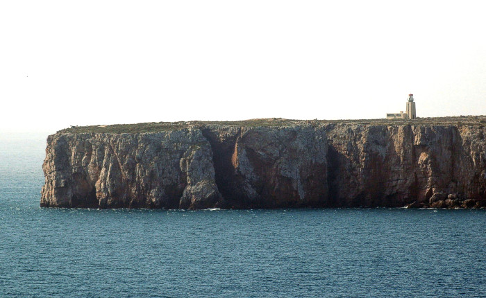
From a rock plateau in the east of the city of Sagres one has a nice look at the peninsula and the lighthouse.
(works since 1894, 1982 automated, height of building 13 m, height of fire 53 m,
range of light red 11 sm,
characteristic [Iso R 2s] one second light - one second dark,
int. No.: D 2170)
coordinates (GPS): 36°59'40.4''N - 08°56'57.3''W