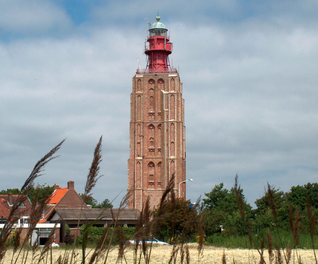
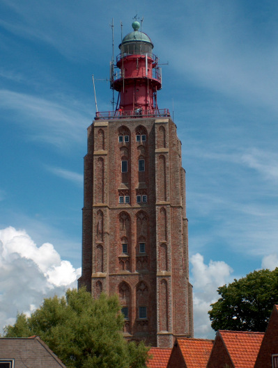
Lighthouse Westkapelle (Hoge Licht) in June 2004. In the time around 1470 for the old village existed the danger
to sink under dunes, thats why the village was transfered deeper into the mainland. The new built church served a long time
as visual navigation mark and got a lantern in 1817.
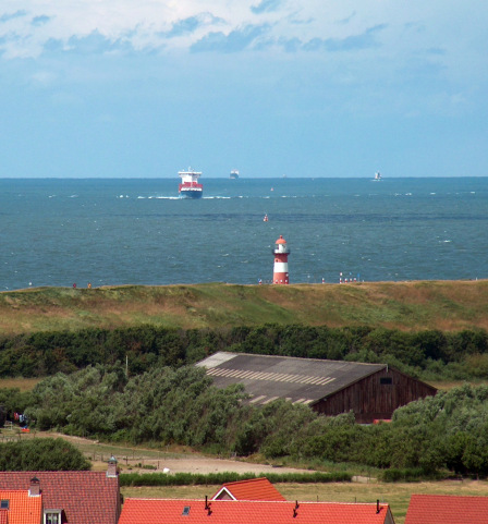
This picture shows a view from the galery in direction lighthouse Noorderhoofd.
A ship which use both lighthouses (direction line) for navigation is also visible here.
(works since 1817,
height of building 52.3 m, height of fire 49.6 m,
range of light white 28 sm,
characteristic [Fl W 3s] one flash every three seconds,
int. No.: B 0174)
coordinates (GPS) : 51°31'45.3''N - 03°26'49.4''E